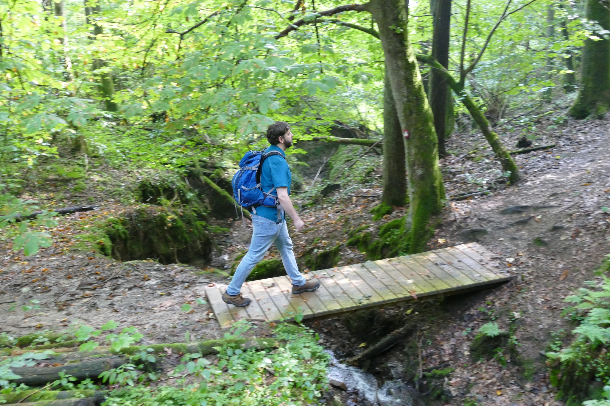
The over 20-kilometer-long route is a challenge even for experienced hikers due to its sometimes very narrow footpaths and the constant ups and downs! At the dam, you might have another opportunity to refill your water bottles with freshly treated reservoir water. After crossing the dam wall, the path starts climbing the hill. First, a forest path leads you past trees and meadows of Happerschoß, then you return to the forest: under large trees, you reach a first stream valley. Two stream crossings later, the route leads you uphill again to the picturesque half-timbered village of Pinn. Natural paths show the way downhill, and along the way, you can enjoy the view over the clear water of the reservoir from a hut at the Ringelstein viewpoint. Afterwards, the path leads towards Wolperath, from where the forebays of the reservoir are already visible. After crossing the northern spur of the reservoir, a path leads over a narrow ridge between sparse oaks and pines to the west side. Here the path winds further around numerous inflows and frequently crosses narrow ravines. At the level of the village Schneffelrath, you leave the shore area of the reservoir. After crossing the Derenbach valley, a quiet asphalt road leads through a tranquil walnut tree avenue towards Gut Umschoß. Below the estate, an old orchard offers an opportunity for a nice finish on hiking loungers with 'lake view'.