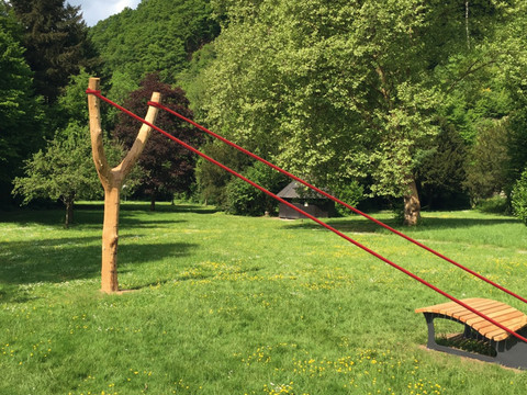
Your starting point is called Herchen Station. From here, an unusual passage leads you over a railway bridge high above the Sieg, then you climb stairs through steep greenery. An efficient way to gain elevation and a good warm-up. 50m further up, you continue your route on the Philosopher's Path: a narrow trail on the steep slope above the river. Afterwards, it gets a bit more relaxed – a scenic field path takes you over a hilltop. Then another steep section, 100 meters of singletrail with several hairpin bends down to the Sieg. The river here is quite shallow, opposite there is a beautiful bathing spot with a gravel beach. Then it continues along a forest path by the Sieg, until the next steep section is reached: the beautiful singletrail through the light forest takes you to the Auenberg – along the way, you discover a shelter with a view. The next exciting trail is already waiting at the next bend, after the campsite. You descend again towards the river in tight hairpin bends. There, a narrow path first idyllically leads you along the Sieg, then ascends the steep slope. Again and again, you pass exposed, alpine-feeling narrow trails past impressive mossy rock formations, crossing narrow stream valleys over wooden bridges – in other words, by now you are definitely hiking "steep"! Afterwards, the next singletrail follows, following Lommersiefen you reach the open land around the small village of Saal with great views. A field path takes you to a rest area with a mysterious wind harp. Afterwards, back in the forest, you follow an earthy trail towards a legendary place in the forest – a "healing spring" with a picnic table. On your way back to Herchen, you can't stop grinning: you strut with seemingly endless trail enjoyment through the forest. To finish, you have the choice: the known stairs down to the railway or a detour into the Herchen spa park with café, beer garden, and nice spots on the Sieg riverbank.


